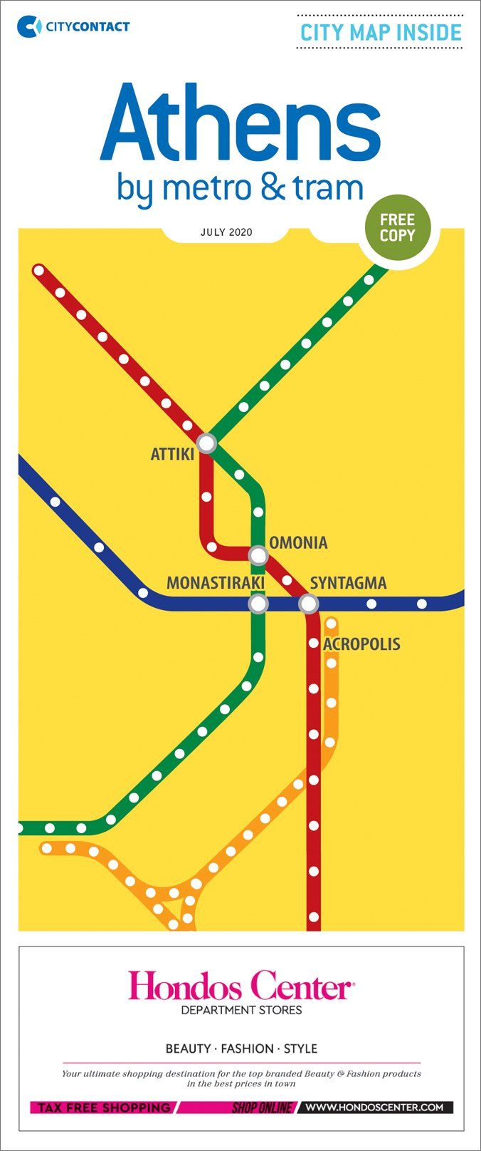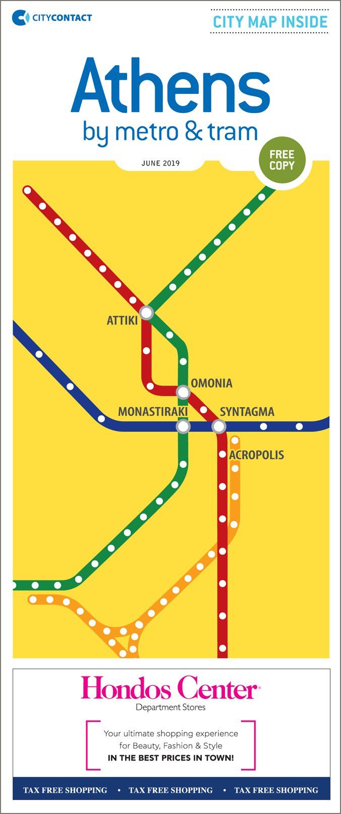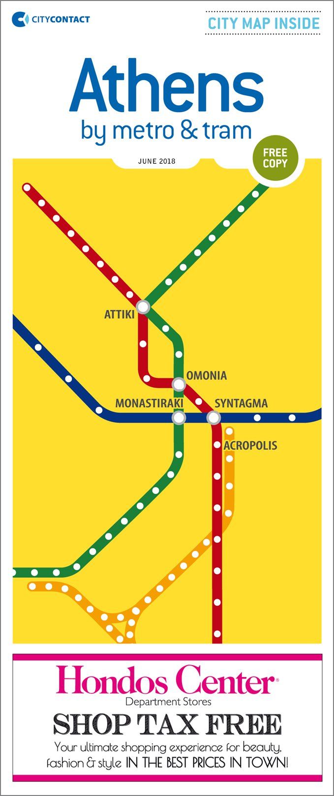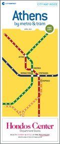

The only map for the Athens transport network used by tourists!
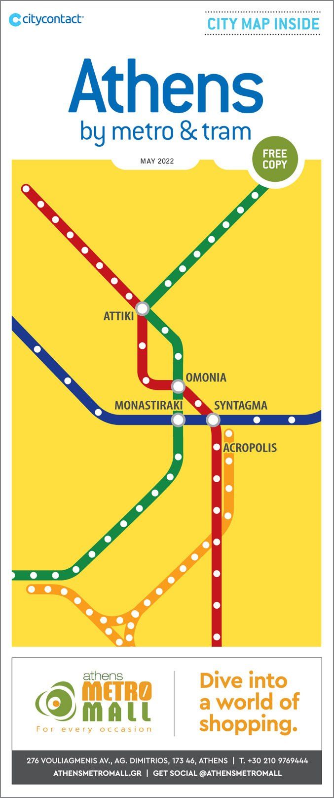
The Athens by Metro & Tram Map first released in 2004.
It is a specially designed map of the ISAP, METRO, TRAM and SUBURBAN network in English.
Publications specifications:
- 2 editions per year, 140,000 - 180,000 copies
- The only map featuring Athens’ public transportation network designed especially for tourists
What makes it stand out?
- It is addressed to both Greeks and foreigners
- It is easy to use and easy to read
- It provides the ability to locate any information on the map
- Provides marking of each advertiser on the map
- Daily use of the map by visitors to Athens
- It is easily kept as a souvenir of the visit to Athens
Latest Athens by Metro & Tram editions: